Introduction to Map Warper

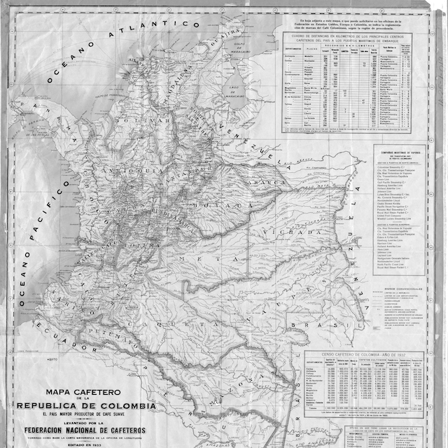
Georeferencing is the process of assigning geographic coordinates to a scanned map or raster image. Many historians georeference maps to study how places have changed over time. In this lesson, we will take you through the steps to align geographic coordinates to a scanned historical map and show you how to export your georeferenced map.
Developed by Tim Waters, Map Warper is an open-source georeferencing service, written in Ruby on Rails; the application lets users upload scanned maps and georeference them against OpenStreetMap. It allows the georeferencing and visualization of geographic areas without the need to install software. The tool is implemented in various digital projects across the world and used by many professionals who are not necessarily experts in the field of cartography.
Reviewed by:
- José Luis Losada
- Riva Quiroga
Translated by:
- Lorena Gauthereau
- Erica Hayes
- Mia Partlow
Translation reviewed by:
- Joshua G. Ortiz Baco
- Adriana Cásarez
Learning outcomes
After completing this lesson, you will be able to:
- Align geographic coordinates to a scanned historical map
- Export your georeferenced map to different formats
- Understand the various considerations to keep in mind when choosing a historical map to georeference
Check out this lesson on Programming Historian's website
Go to this resource